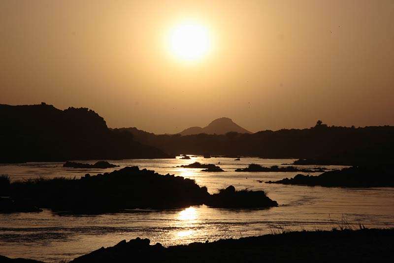
From the first cataract in southern Egypt to the fourth cataract in Sudan, over a span of about 1,000 km, a network of river breakwaters built more than 3,000 years ago has been identified, studied and analyzed by an international group of researchers. It consists of 1,300 dry stone walls set within active channels and seasonally flooded plains and in pale Holocene channel belts that are now dry.
These walls act as control devices for the floods and flow of the Nile, and perhaps also to respond to a decrease in the river’s flow and to store as much silt as possible to keep the land fertile for a longer period.
The study was conducted as part of the British Museum’s Western Tell el-Amarna Research Project in collaboration with the Sudanese National Authority for Antiquities and the Museum and led to remote sensing and drone survey mapping of the area, comparison to historical sources and photographs – some of these breakwaters did, in fact, appear in the photographs. RAF Air Force 1934 – and in the definition of a provisional chronology, based on ethnographic investigations and radiocarbon (C14) dating of structures in northern Sudan. The results have been published in the journal Geoarchaeology at the following link https://onlinelibrary.wiley.com/doi/full/10.1002/gea.21965

The research team also dealt with analyzing the economic and historical effects of this type of hydraulic engineering in the Nile Valley over the past three millennia: according to Sudanese farmers, this type of construction was applied until the 900s and the land that formed some of the fences is still cultivated. In fact, the structures – about 1 meter high, from a few meters to 200 meters long and no more than 2 meters thick – allowed the silt to settle thanks to their architectural form, making the land naturally arable without the need for further reclamation. Therefore, it is an important work of hydraulic engineering, which has its roots in the original Nubian societies that lived around 1000 BC and is still applied today.


“Reader. Travel maven. Student. Passionate tv junkie. Internet ninja. Twitter advocate. Web nerd. Bacon buff.”


